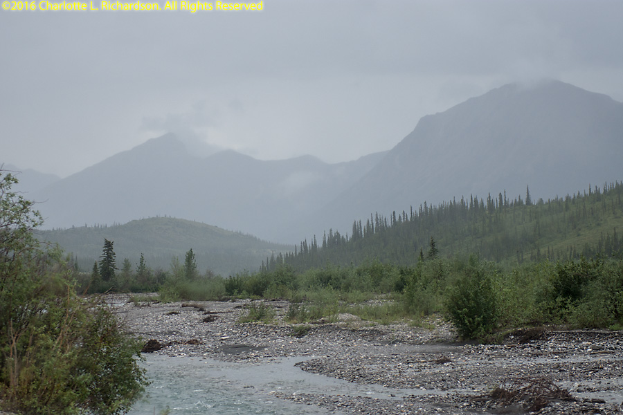
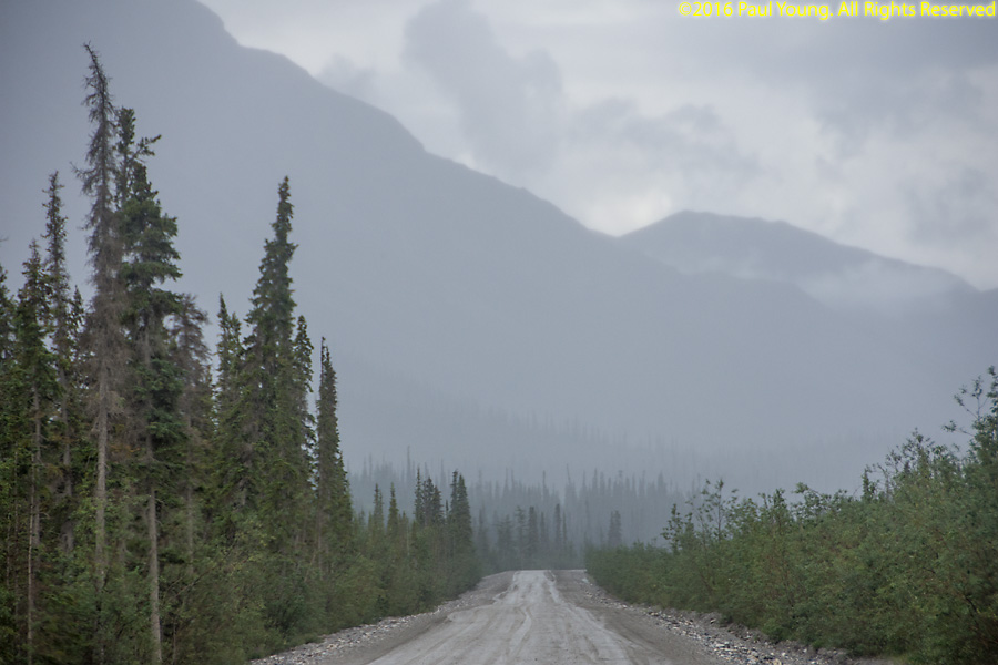
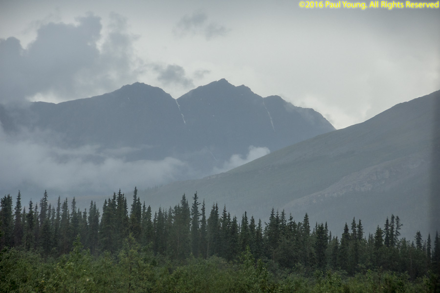
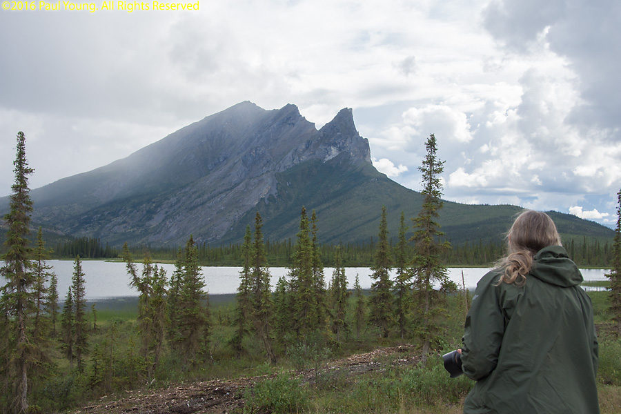
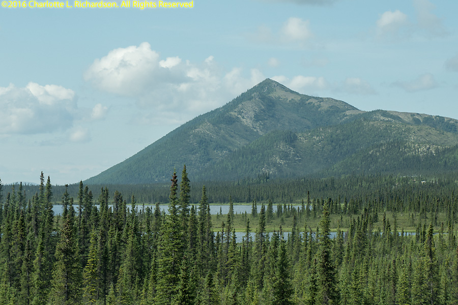
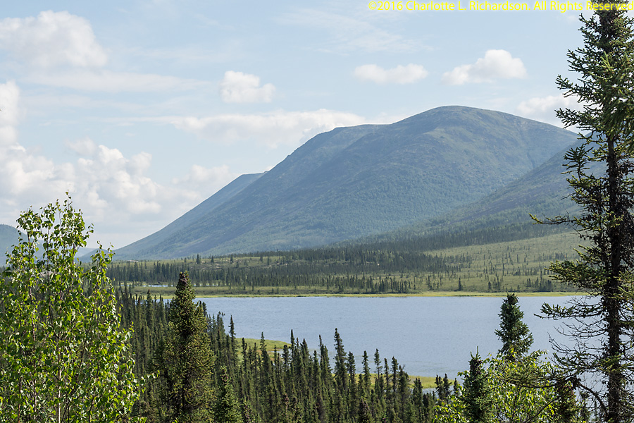
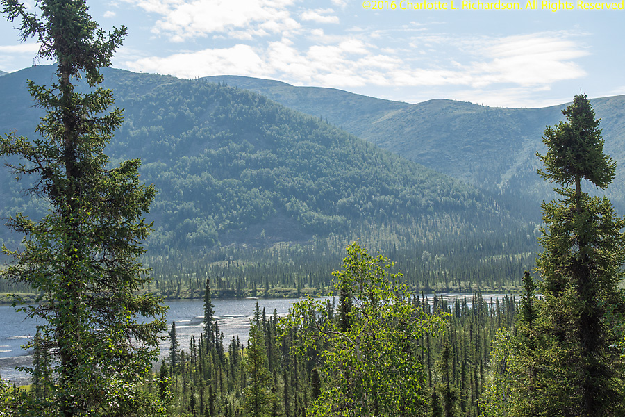
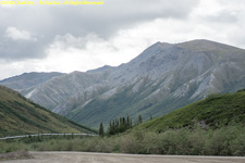
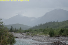
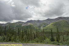
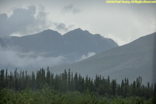
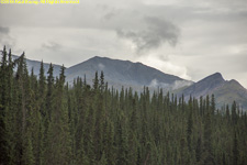
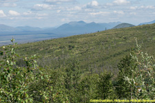
Dalton Highway South of the Brooks Range
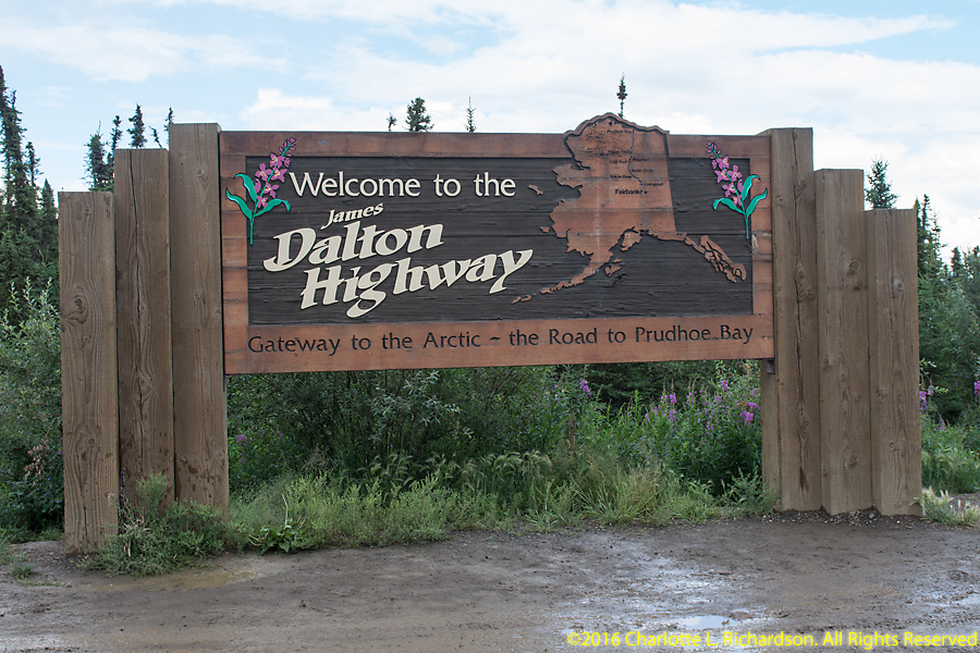
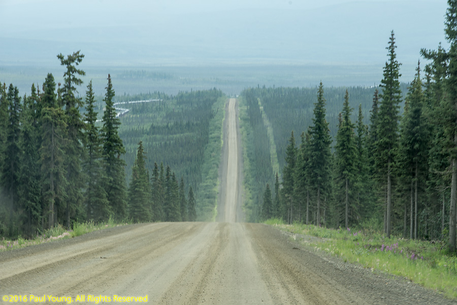
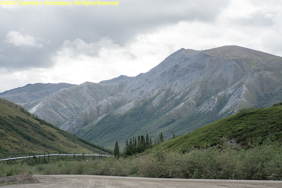
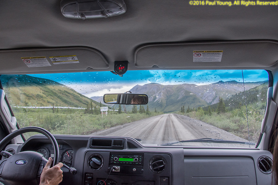
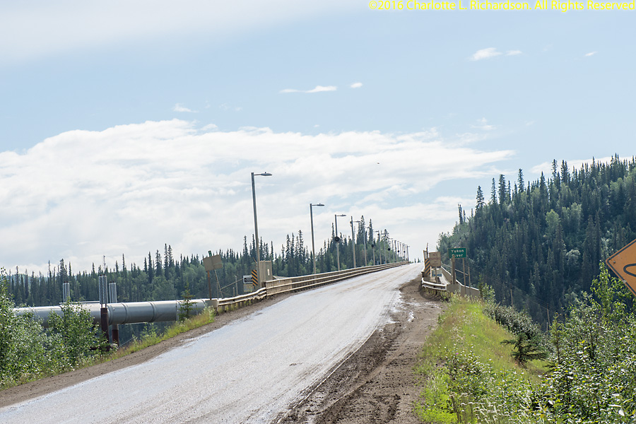
The James Dalton Highway, Alaska Route 11, or North Slope Haul Road begins in Livengood at the Elliott Highway 84 miles north of Fairbanks and ends 414 miles north at Deadhorse near the Arctic Ocean and the Prudhoe Bay oil fields. It was built as a supply road to support the Trans-Alaska Pipeline System in 1974. The road directly parallels the pipeline. There are only three permanent towns on the route: Coldfoot (mile 175), Wiseman (mile 188), and Deadhorse (mile 414). Two other settlements, Prospect Creek and Galbraith Lake, have only seasonal residents. Most of the road is gravel, although some sections are paved. The highest elevation is at Atigun Pass in the Brooks Range at 4739'. There are some very steep sections with up to 12% grade which can be slippery when wet. You must drive with your headlights on at all times. The road crosses the Arctic Circle at mile 115 and the Yukon River at mile 55. The road opened for public access all the way to Deadhorse in 1994.


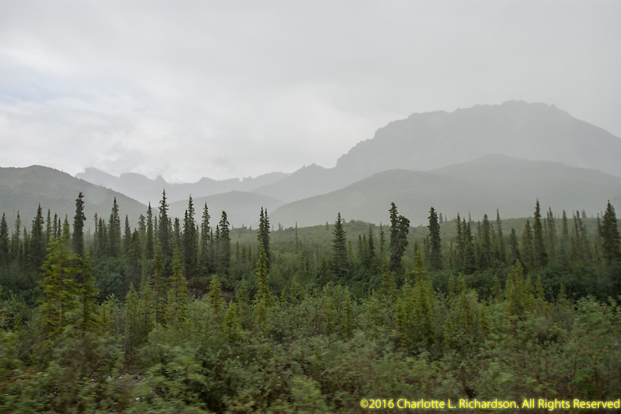
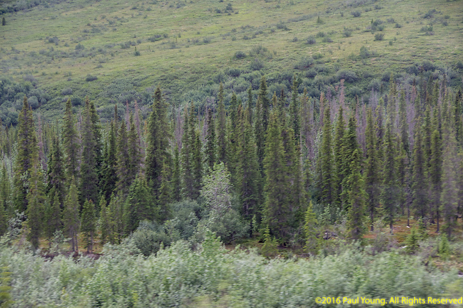
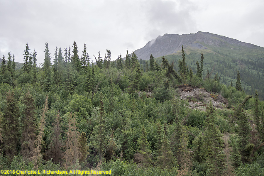
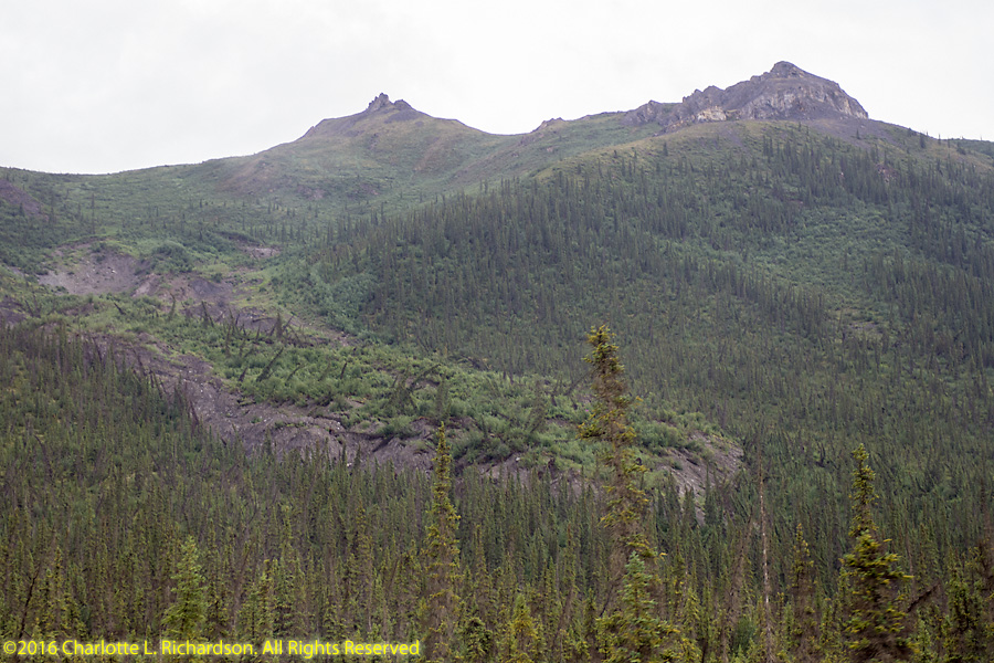
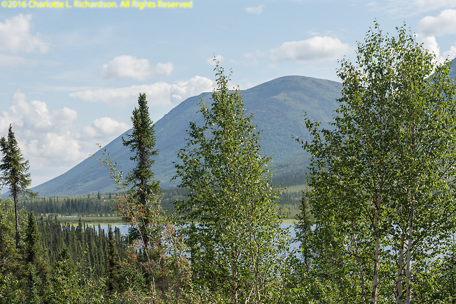
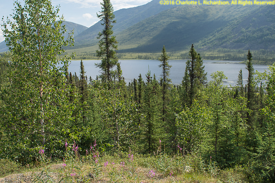
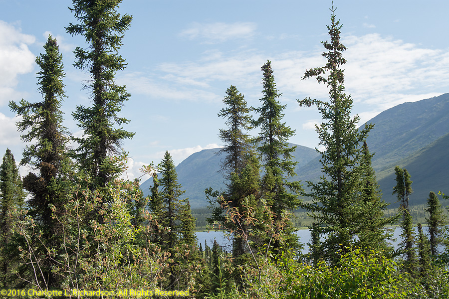
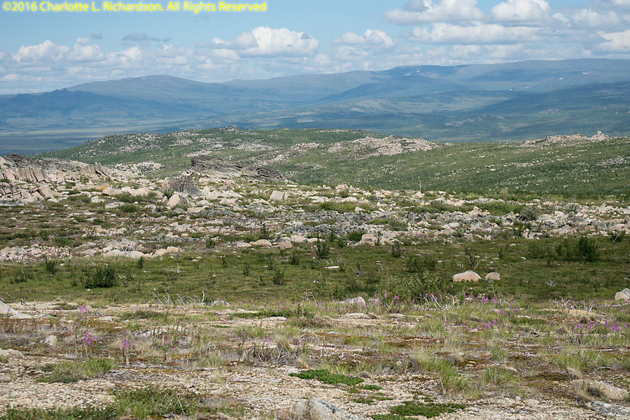
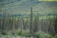
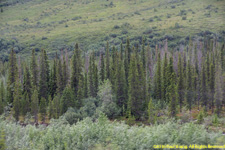
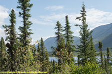
The tree line is the northern edge of the taiga, or boreal forest, the edge of the habitat where trees can grow.

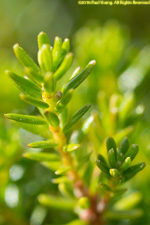
Spruce trees are the northernmost trees that can survive here. The white spruces, Picea glauca, reach a few miles further north than the black spruces, Picea mariana.


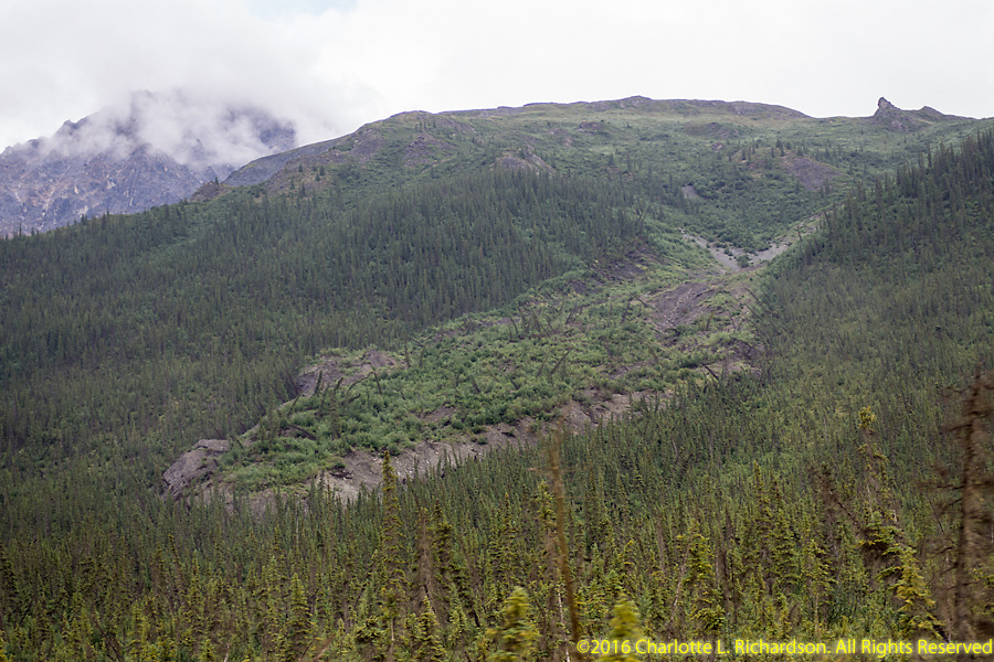
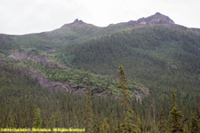
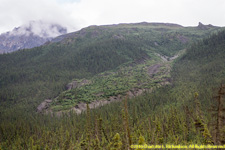
Frozen debris lobes in the South-Central Brooks Range just south of Atigun Pass are slow-moving landslides occurring in permafrost, flow from mountain slopes, and consist of a mixture of coarse-to-fine gravel, silt, debris, including plant material, and ice. Trees growing on the slopes of the frozen debris lobes are subject to split trunks and damaged root systems. The lobes are generally 500m to 2000m long, 50m to 500m wide, and rise 5m to 30m above the surrounding soil. Frozen debris lobes move down-slope from small drainage basins. The continued downhill movement of the closest lobe to the Dalton Highway, near mile 219 near the Dietrich River, threatens both the Dalton Highway, now only about 100' to the west, and eventually the Trans-Alaska Pipeline 700' west of the road. Plans are to move a 2000' section of the road 400' further from this hazard in 2017, a very costly undertaking. There are 23 frozen debris lobes within a mile of the uphill side of the Dalton Highway.
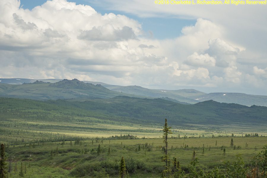
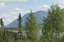
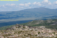
Yukon Flats National Wildlife Refuge lies east of the Dalton Highway south of the Brooks Range and north of the White Mountains.
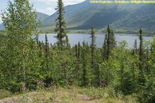
Grayling Lake, at mile 150. Charcoal, stone scrapers, and other artifacts found nearby indicate that native hunters used the lookout above the lake for thousands of years. Graylings are arctic fish related to salmon.


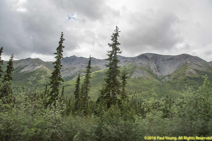
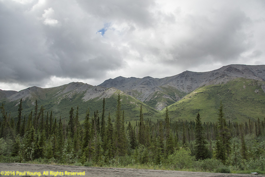
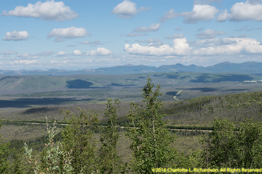
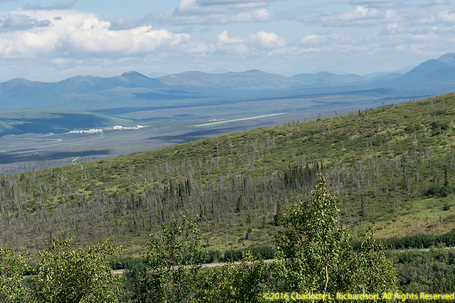
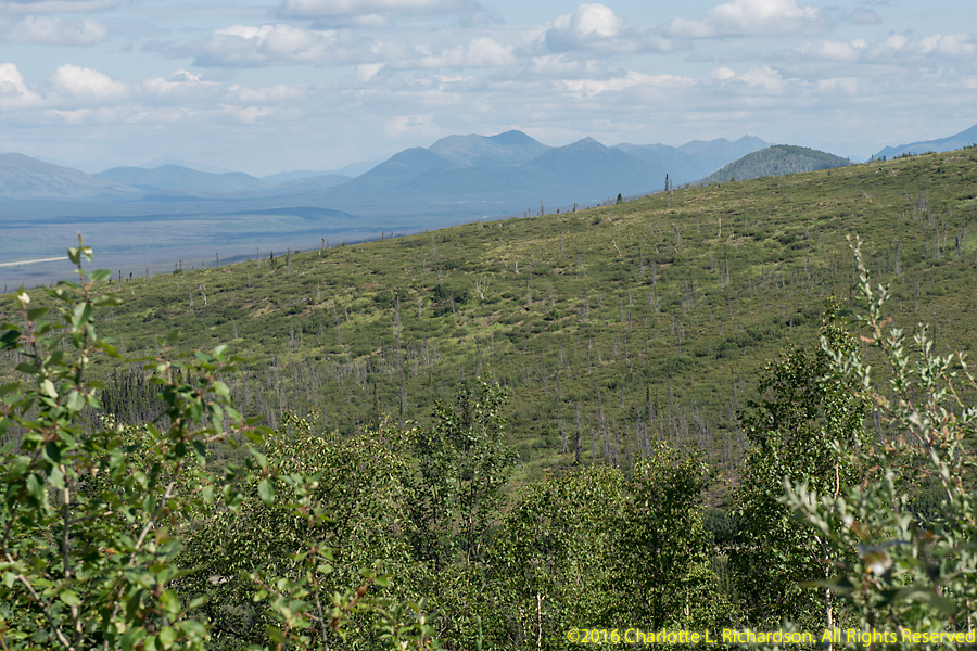
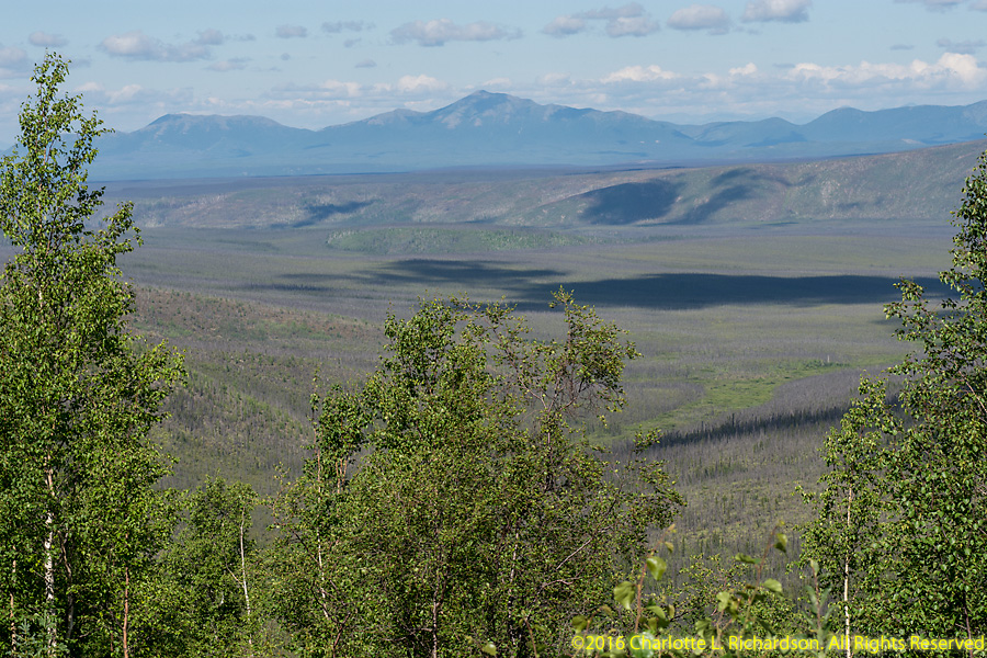
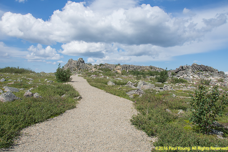
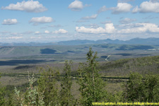
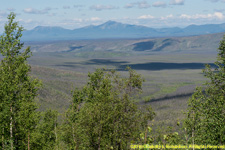
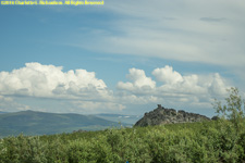
Gobbler's Knob gives your first view of the Brooks Range if you arrive from the south, at mile 132, 17 miles north of the Arctic Circle. You can view the midnight sun by climbing the hill above Gobbler's Knob.

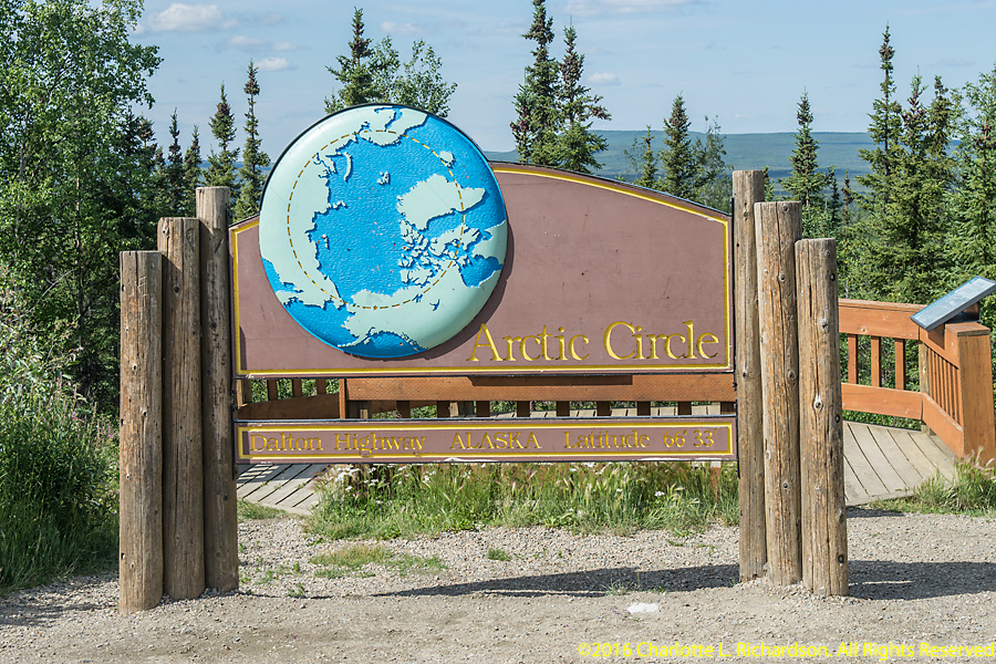
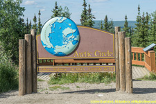
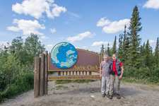
The Arctic Circle, at mile 115. At the Arctic Circle, the midnight sun circles the northern horizon and so drops behind the Brooks Range.
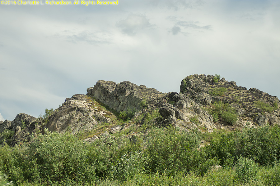
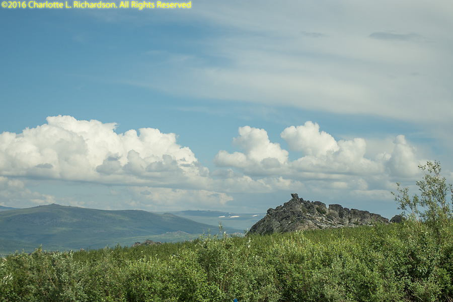
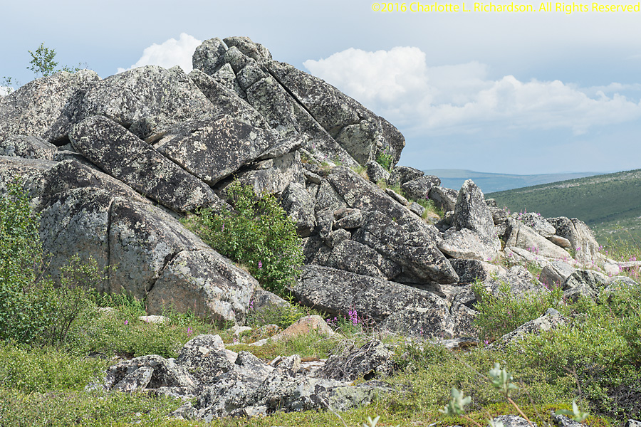
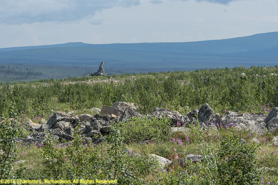
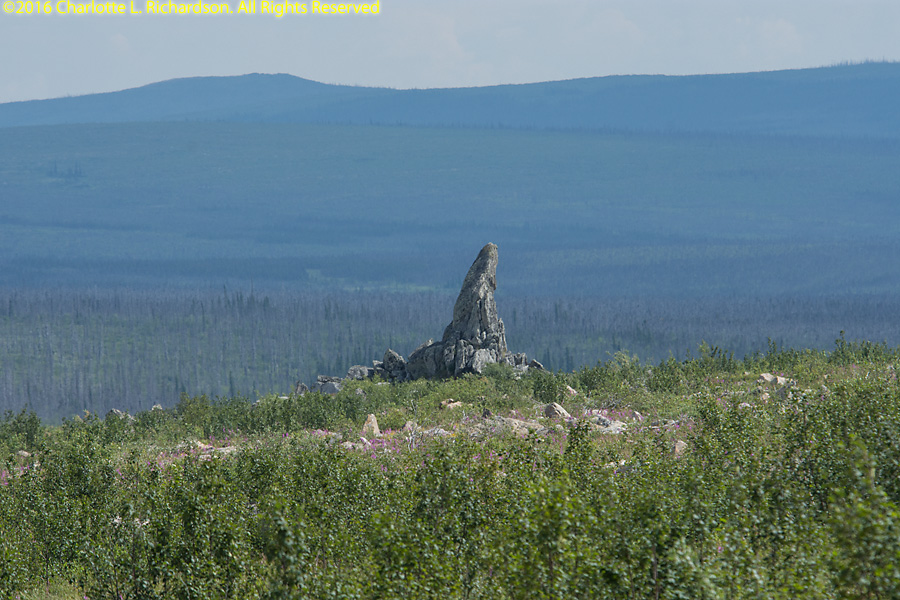
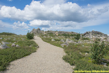
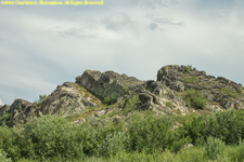
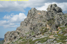
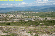
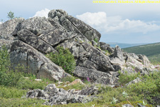
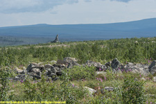
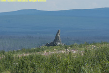
Finger Mountain is a broad hill with an elevation of around 1312'. It is named for Finger Rock, a distinctive granite protrusion on the hill. Finger Mountain Wayside is at mile 97.5 of the Dalton highway. West of Finger Mountain is the Kanuti National Wildlife Refuge. Bush pilots use the distinctive rock formation, or tor, as a marker; the finger points straight at Fairbanks.


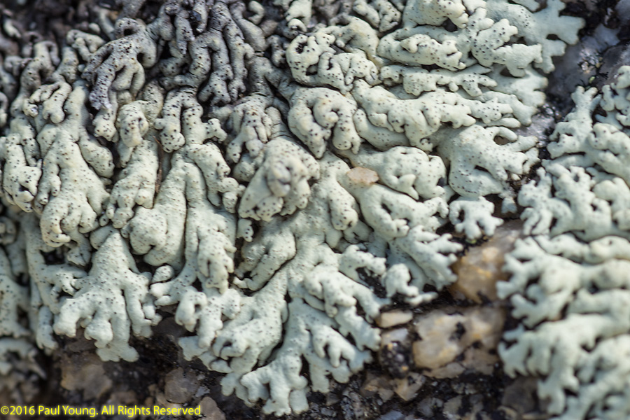
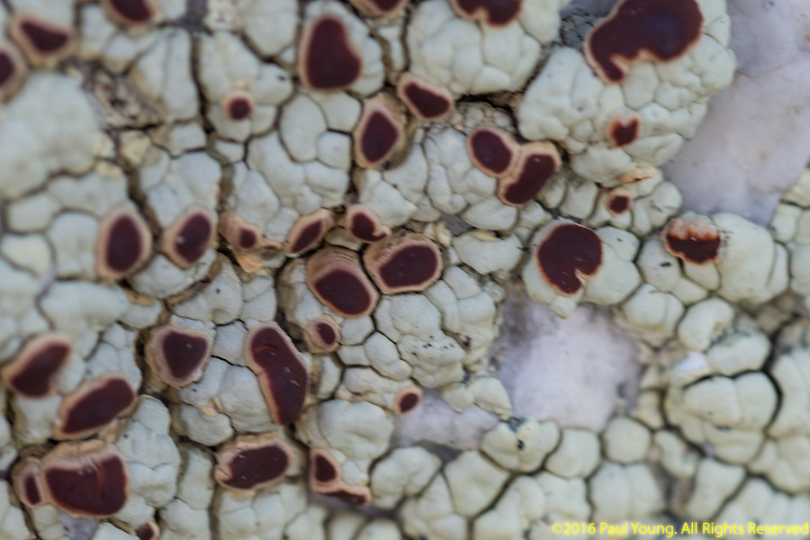
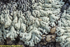
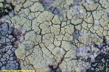
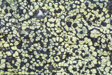
lichens:

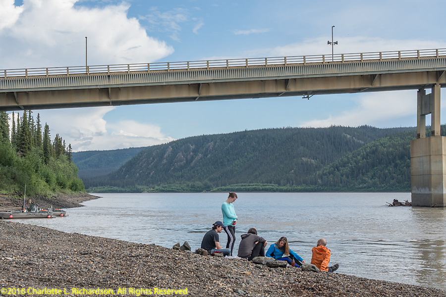
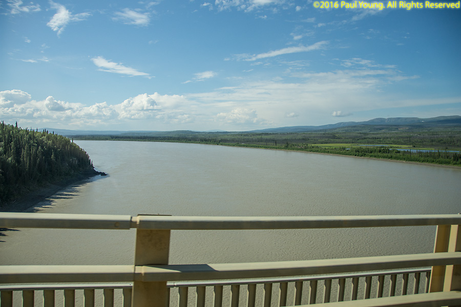
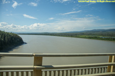
Yukon River
The source of the Yukon River is the Llewellyn Glacier at the south end of Atlin Lake in British Columbia. The river flows for 1980 miles into the Bering Sea at the Yukon-Kuskokwim Delta. It was the principal means of transportation during the 1896-1903 Klondike gold rush.
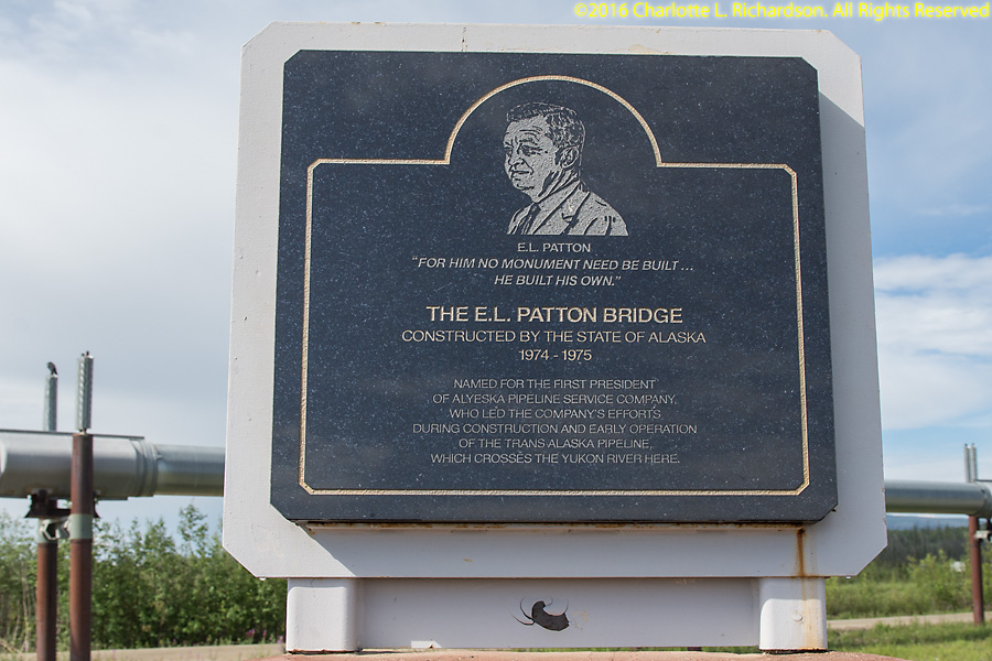
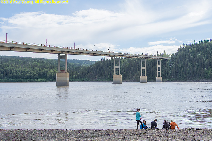
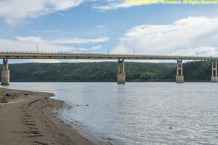
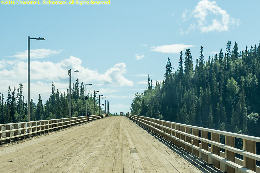
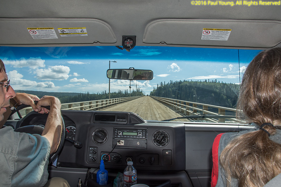
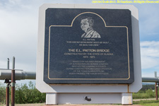
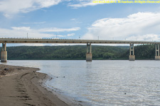
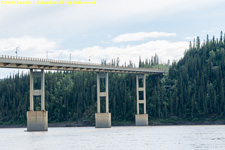
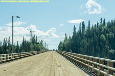
Only four vehicle-carrying bridges cross the Yukon. The 2290-foot-long E.L. Patton Yukon River Bridge, completed in 1975, is a girder bridge spanning the Yukon River and carrying both the Dalton Highway and the Trans-Alaska Pipeline. It is the only bridge crossing the Yukon in Alaska. The driving surface of the bridge is timber supported by a steel deck attached to a pair of box girders. The wooden deck is replaced every few years.
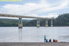
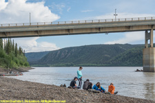


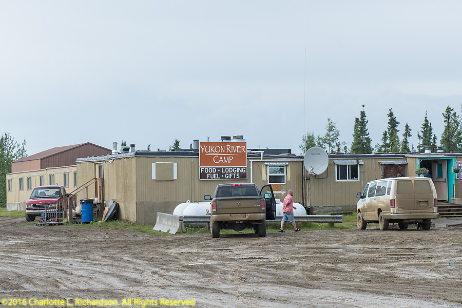
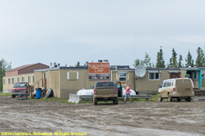
Yukon River Camp during the summer season provides lodging in converted work quarters, dining, fuel, and activities at the Yukon River bridge, at mile 56 halfway between Fairbanks and the Brooks Range.
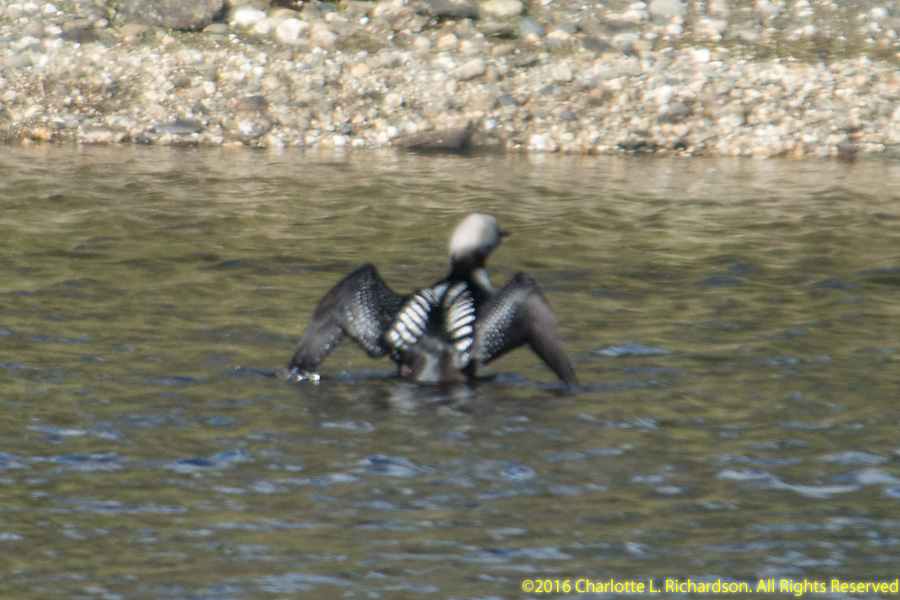
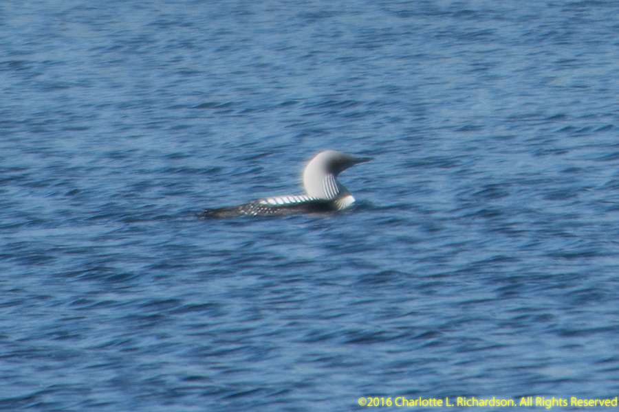
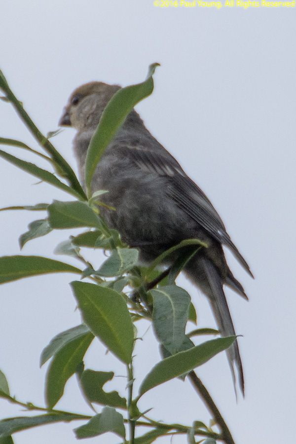
Wildlife:
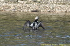
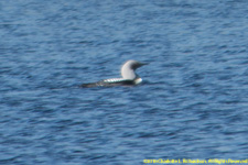
Pacific Loon, Gavia pacifica
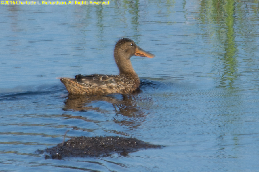
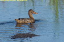
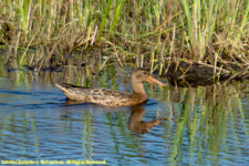
Northern Shoveler Duck, Anas clypeata
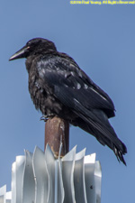
Common Raven, Corvus corax
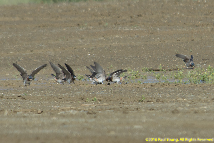
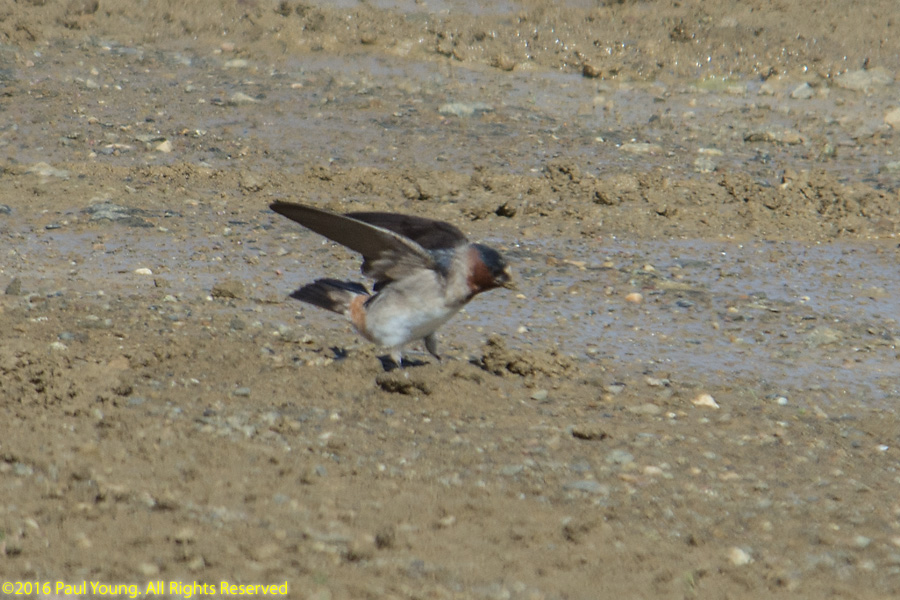
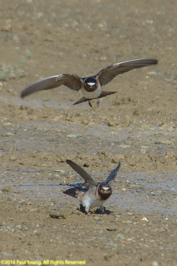
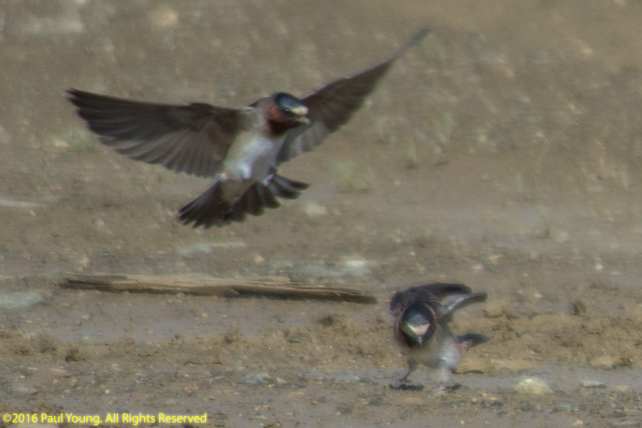
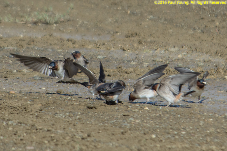
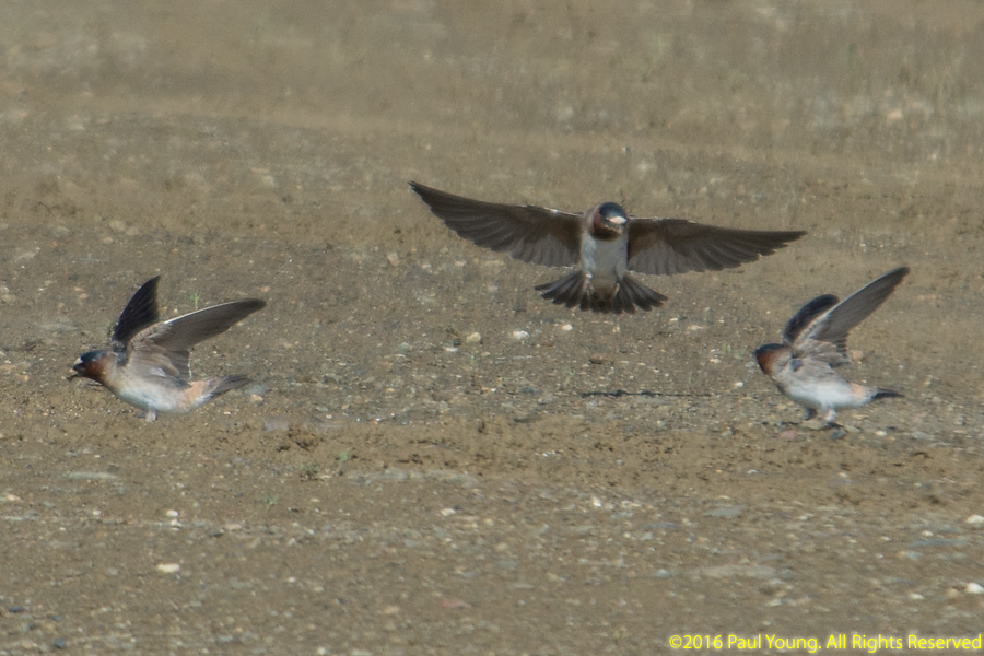
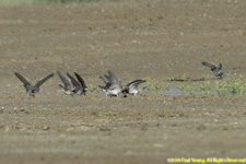
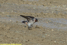
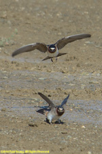
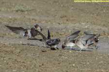
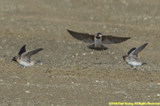
Cliff Swallows, Petrochelidon pyrrhonota

American Pipit, Anthus rubescens

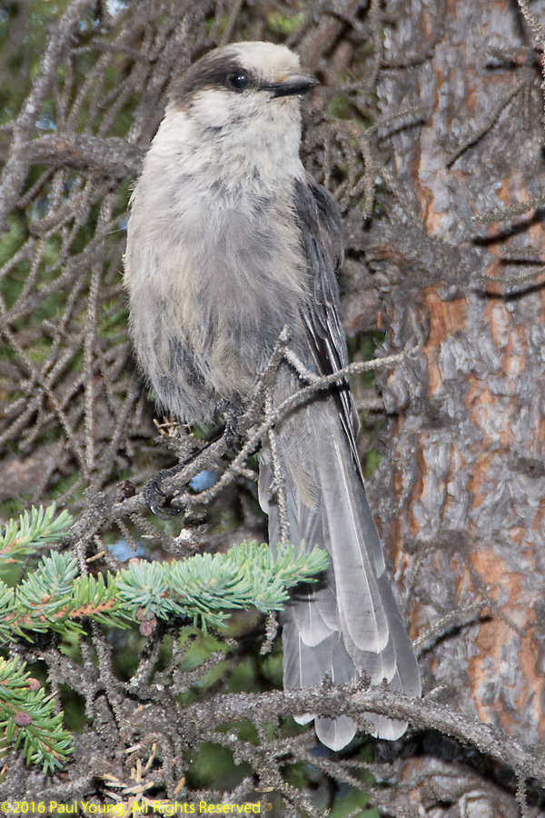
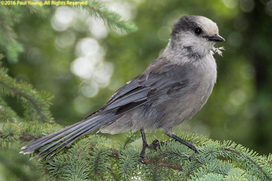
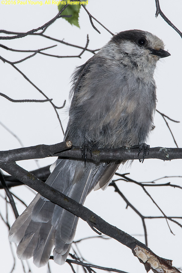
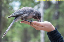
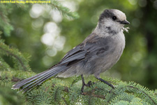
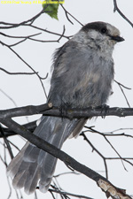
Grey jay, or whiskey jack, Perigoreus canadensis

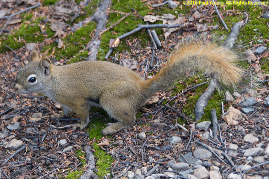
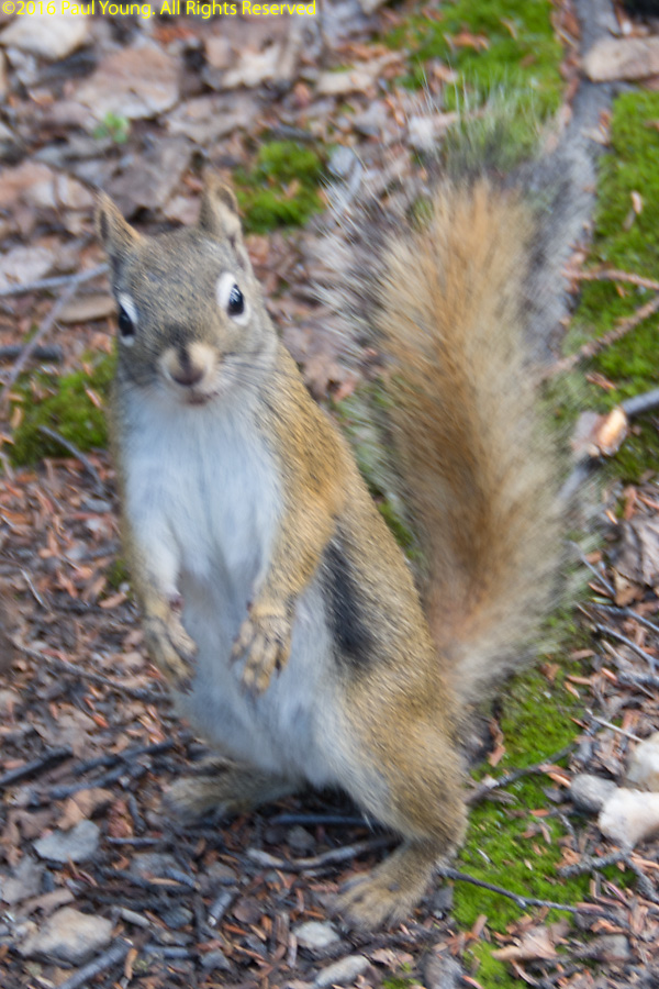
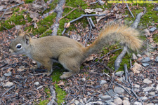
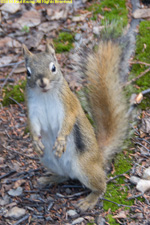
Red squirrel, Tamiasciurus hudsonicus
©2016, 2019 Mermaid Underwater Photographic. All Rights Reserved.
Contact us at mermaid@underwater.org.
Last modified 4 November 2019